
Frederick Douglass Tunnel (B&P Replacement) Program, Baltimore, MD, USA


The Baltimore and Potomac tunnel in the United States of America is ~150 years old. It is the oldest tunnel Amtrak inherited and a single point of failure for the Northeast Corridor train line. The 1.4 mile tunnel, connecting Baltimore’s Penn Station to Washington D.C. and Virginia, suffers from a variety of age-related issues such as excessive water infiltration, a deteriorating structure, a sinking floor, and no fire-life safety systems, creating excessive costly maintenance and a risk to the general public. More than 10% of weekday trains are delayed, and delays occur on 99% of weekdays. The tunnel must be replaced to meet the needs of the 9 million MARC and Amtrak customers who rely on it annually.
I am the lead engineering geologist for the program at WSP USA, the lead designer on the replacement Frederick Douglass tunnel program for Amtrak. The twin-tunnel will excavate through mostly rock using a Tunnel Boring Machine (TBM). A sound understanding of structural geology, geomechanics, and hard rock is required to characterize the subsurface the TBM will encounter, as well as several structures to be excavated with drill and blast.
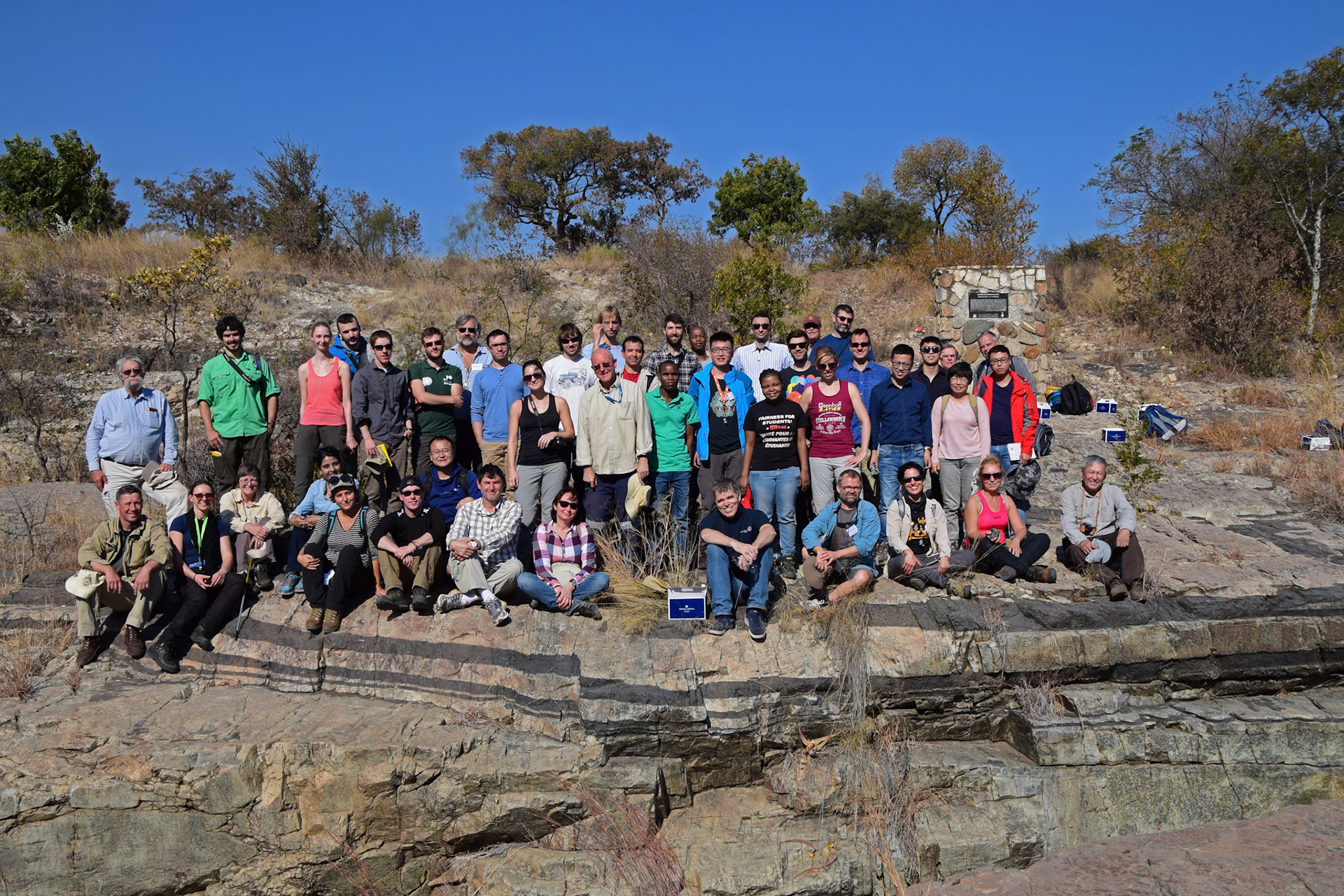
Dating strike-slip faulting in the Newark basin, PA, using U-Pb geochronology of fault-hosted calcite


Significant folding and faulting of syn-rift sedimentary packages in the Newark basin are not consistent with a single phase of extensional deformation. Left-lateral slip along right-stepping fault segments is consistent with multiphase deformation that is well-documented from outcrop and seismic data along the eastern North American margin (ENAM). The timing of deformation that follows the main extensional phase, however, is poorly constrained. I attempted to use LA-ICP-MS U-Pb geochronology to determine the absolute age of calcite in strike-slip fault zones in the western Newark basin. The ages obtained from calcite were high in common Pb and didn't contain enough U to acquire a precise age. Further work investigating the method is ongoing, and may yield results for this project in the future.
Emplacement and solidification of the layered mafic Dufek Intrusion, Antarctica
The Dufek Intrusion is a large layered mafic intrusion that was emplaced into present-day Antarctica during break-up of the Gondwanan supercontinent ~183 Ma as part of the Ferrar igneous province. I investigated the Dufek Intrusion’s solidification history with U-Pb zircon geochronology at Princeton University as part of an NSF-funded study. Due to the intrusion’s Jurassic age, these ages are resolvable across the whole ~7-9 km of stratigraphy within the errors associated with CA-ID-TIMS. I also collected the first whole-rock Sr-Nd-Pb isotopic dataset for the Dufek Intrusion. This dataset in combination with existing isotopic data on the Ferrar, suggests the complex is connected to the less voluminous and younger volcanic episode of Ferrar volcanism (Scarab Peak Chemical Type). Understanding how layered intrusions form is vital, as they house >95% of the world’s PGE resources, in addition to various rare Cr and V ores. They are also analogs for modern-day magma chambers, helping us better understand the differentiation processes that occur in volcanic systems and how they evolve and migrate prior to eruption.
Geochemical survey of Gran Canaria, Spain, for geothermal exploration and volcanic degassing
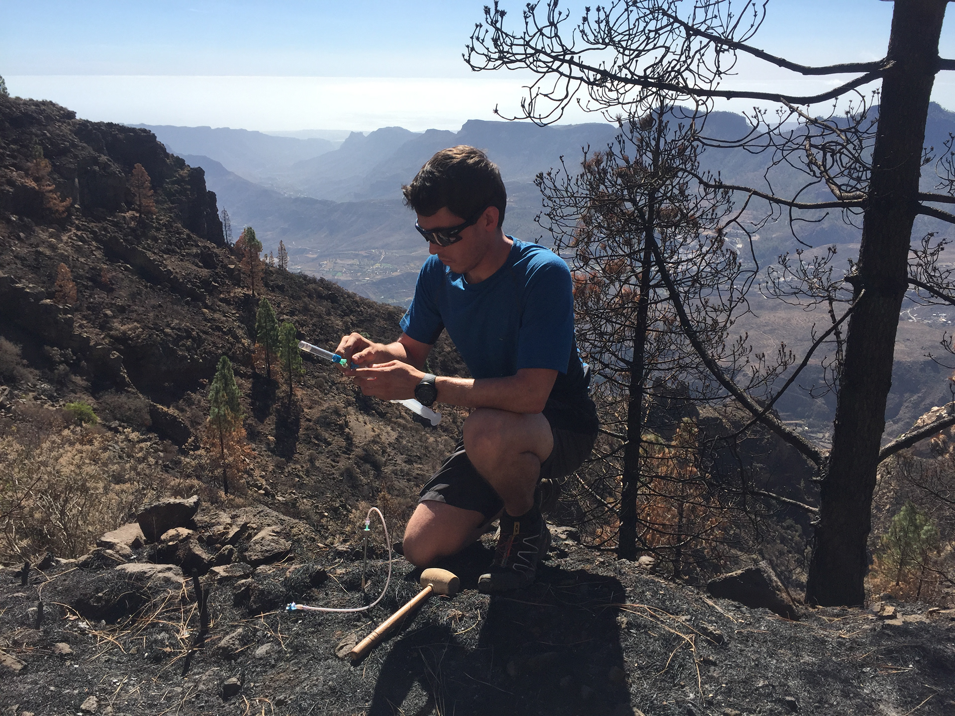
I assisted the Instituto Volcanológico de Canarias with a geochemical survey for geothermal exploration and volcanic monitoring in 2017. There has been considerable interest in the study of diffuse degassing as it is a powerful tool in geothermal exploration. Geochemical techniques are particularly useful in the early stages of research when there are no obvious geothermal manifestations in the surface environment. Radon and Thoron activities, soil gas concentrations and CO2 diffuse efflux were measured in-situ at ~3000 sampling sites over the period of a year. Soil gas radon values ranged from atmospheric levels to values higher than those observed at other active volcanic islands. Soil H2 concentrations ranged from typical atmospheric values to high, but the mean value was fairly low. Soil gas CO2 samples indicated that most of the sampling sites exhibited CO2 composed of atmospheric and biogenic CO2. These results will be used to identify the possible existence of actively degassing geothermal reservoirs on Gran Canaria, particularly where the interpretation and application of geophysical data is difficult.